Multi-Band/Multi-GNSS Handheld GPS with Sensors
The Garmin GPSMAP 65s may be small in size, but it packs a huge punch with the features it offers. Built with a sunlight viewable 2.6” color display that beautifully displays preloaded TopoActive maps for terrain contours, topographic elevations, summits, coastlines and geographical points within US & Canada. Quickly and easily download up to 250 high-resolution photo-like map files directly to your GPSMAP 65s with Birdseye Satellite Imagery to help you locate parking, pick stand locations, and find trails all in the palm of your hand. Built-in smart notifications when paired with a compatible smartphone will display emails, calls, and text alerts right on your GPSMAP device. Navigate with ease with built-in ABC sensors that include an altimeter for elevation data, a barometer to help monitor weather, and a 3-axis electronic compass!
For adventures near or far, the GPSMAP 65s can keep up with you throughout your journey with a battery life of up to 16 hours while in a GPS mode. When paired with a compatible smartphone and the Garmin Explore app, you can gain access to real-time weather forecasts and live weather radar to keep you aware of surrounding conditions. Also via the Garmin Explore app, each user has the ability to plan, review, and sync waypoints and routes and review completed activities out in the field through the Garmin Explore app or website. Unlimited direct-to-device access via Bluetooth and WiFi wireless networking make saving and transferring information easier than ever.
A built-in optional display of federal public land boundaries overlaid on topographical maps will aid in keeping you aware that you are venturing where you are supposed to be. Multi-Band technology along with expanded GNSS support (GPS, GLONASS, Galileo, QZSS, and IRNSS) satellite systems provide the upmost accuracy and reduced estimated position error when tracking you in urban canyons, forests with dense trees, and steep countryside. A convenient SD card slot on the 65s GPSMAP will allow each end user to download or add a 24k TOPO map SD cards to your unit for a more enhanced navigational experience as well the ability to add HuntView Plus maps to view public land types and boundaries as well as private landowner names and boundaries. For your next journey, make the GPSMAP 65s a must have companion to help you along the way!
- Regular price
- $399.00


Frequently Bought Together
-
Vendor: Pacific Survey Supply
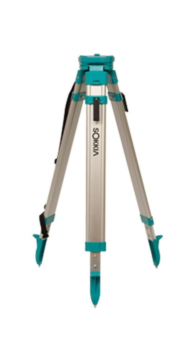
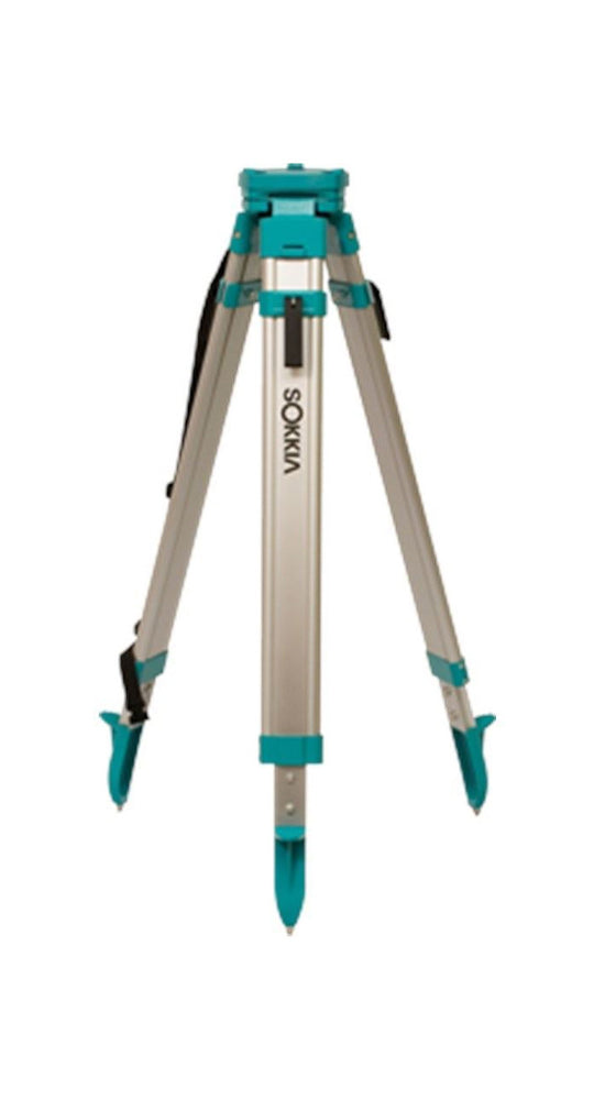
Sokkia Aluminum Tripod Med.
Regular price $150.00 -
Vendor: Pacific Survey Supply
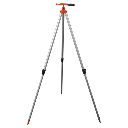
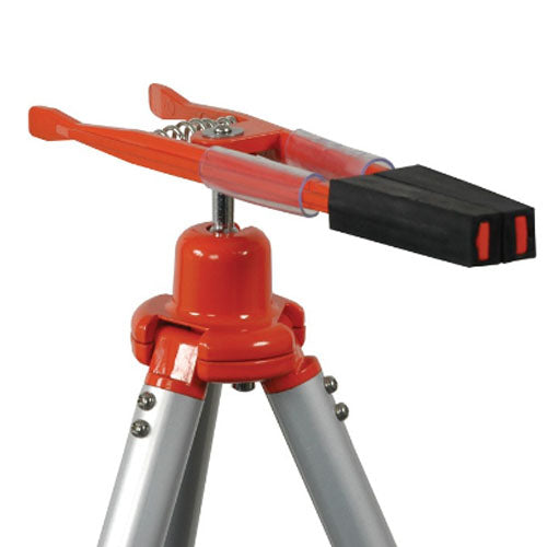
TRIPOD, ALLIGATOR CLAMP, POLE
Regular price $75.00 -
Vendor: Pacific Survey Supply
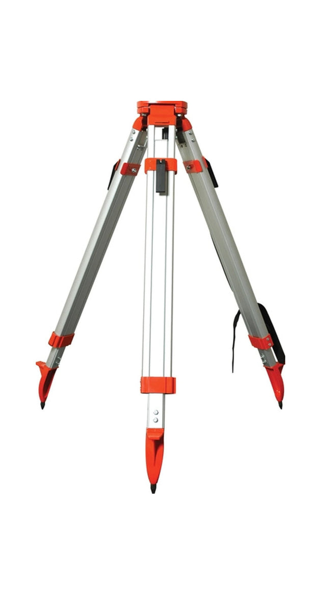
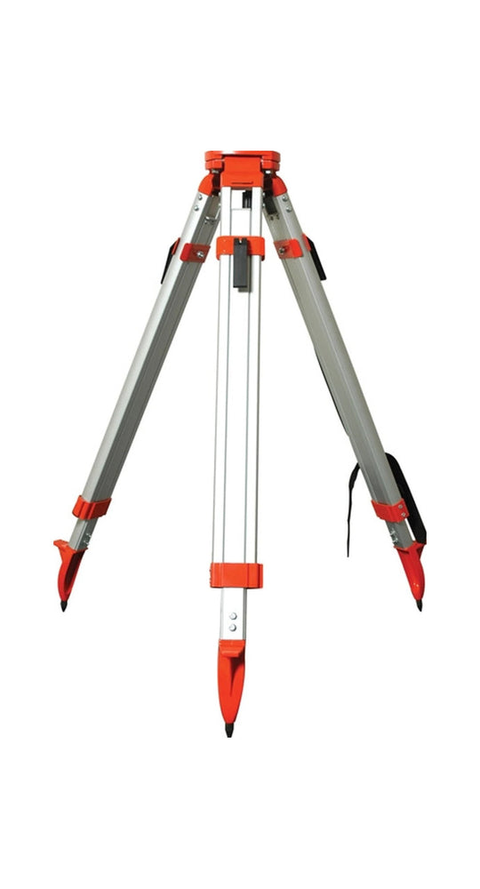
Tripod, HD Square Leg, Quick Clamp
Regular price $150.00 -
Vendor: Pacific Survey Supply
TRIPOD, HD SQUARE LEG,QUICK CLAMP
Regular price $150.00


